Open tools for satellite altimetry research.
Simulate satellite sampling, query ocean observations, and interpolate sea-level data with MATLAB and Python tools.
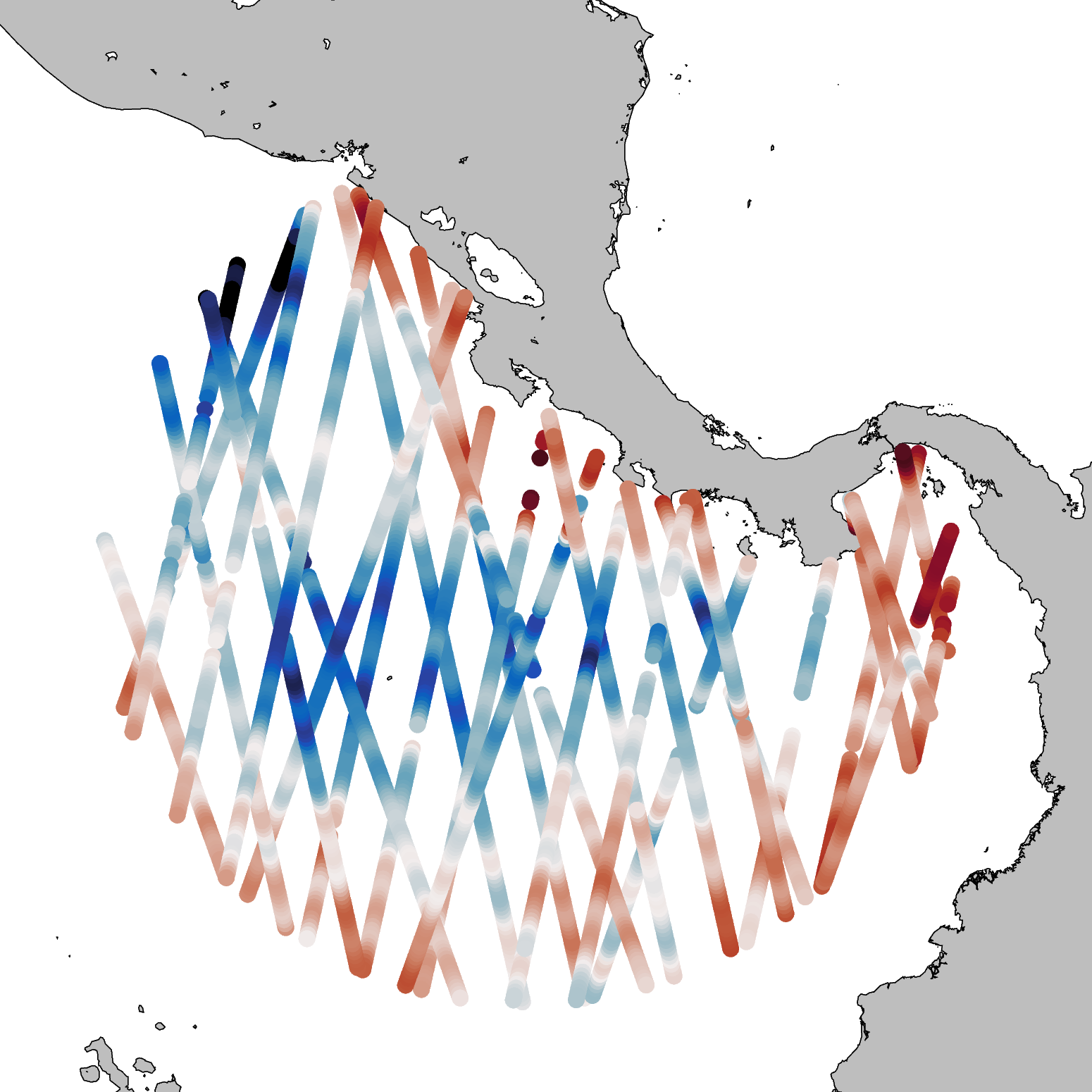
Tools for your research
Simulate
AlongTrackSimulator
Simulate satellite ground tracks and sample numerical ocean models using real mission patterns.
MATLABQuery
OceanDB
Ingest and query along-track altimetry observations and eddy datasets in space and time.
Python · PostgreSQLInterpolate
MapInterp
Interpolate observations from OceanDB onto points and grids with interchangeable methods.
Python